
Engelberg hiking starts with a route and a return plan
Engelberg hiking involves distinct choices: Brunni and Härzlisee, the Stäuber circuit near Fürenalp, or the four-lake route towards Melchsee-Frutt. Each combines walking and transport differently. A circuit returning to a valley station needs a different plan from a route ending in another valley. Choose the walk first, then arrange the mountain access and onward journey rather than using a lift ticket as the itinerary.
At the information date of 2 November 2026, the Walenpfad is closed and its safety installations have been removed. The Kitzelpfad at Härzlisee was also marked closed. Trail status and lift operation are separate decisions: an operating installation does not open every connecting path. Use the seasonal planning guide for the wider timing and the Trübsee guide for mountain-lake access.
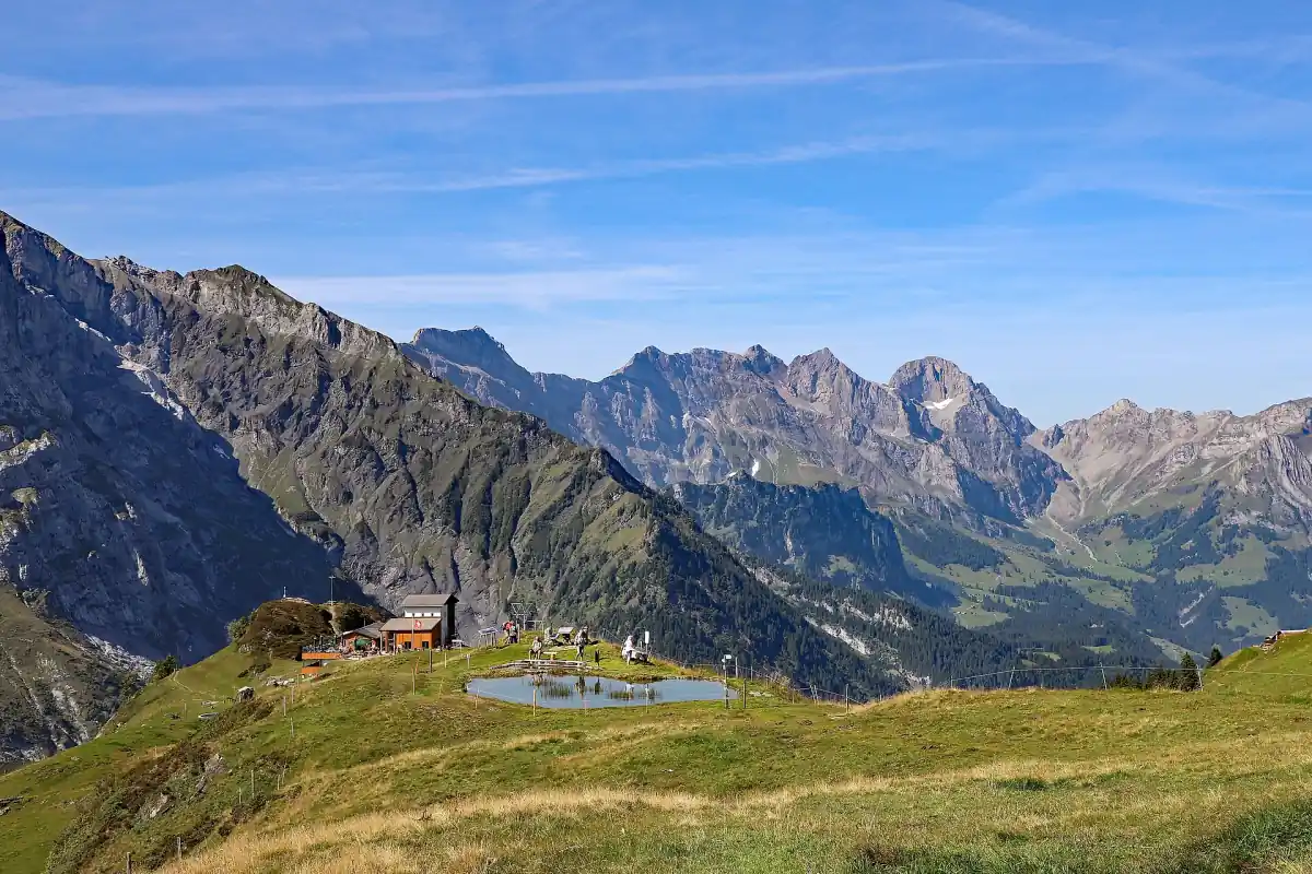
Brunni Engelberg and Härzlisee
Brunni access begins with the Engelberg to Ristis cableway. From Ristis, continue by chairlift towards Brunnihütte or walk to Härzlisee. Match those stages to the amount of walking intended and the route back to the appropriate installation. The Kitzelpfad is a separate short circuit at the lake, starting and finishing at the herb hut. Its closed status on 2 November 2026 should be used for that path rather than as a description of the whole mountain landscape.
From 2 to 22 November 2026, Brunni's schedule provides Wednesday-to-Sunday operation, plus specified statutory days off and bridging days, with Mondays and Tuesdays closed. The November cableway window is 08:20 to 17:00 and the chairlift window 08:40 to 16:30. Both installations were closed on 2 November. Revision follows from 23 November to 4 December 2026. Rain stops the chairlift, so choose the date and route together with the weather and required connections.
Guided mountain outing
This guided trip includes transport tickets for a mountain outing with Fürenalp.
Hand-picked tours, booked through GetYourGuide. Prices are indicative starting prices in Swiss francs (as of October 2026). Tap a tour for live availability and the current price in your currency.
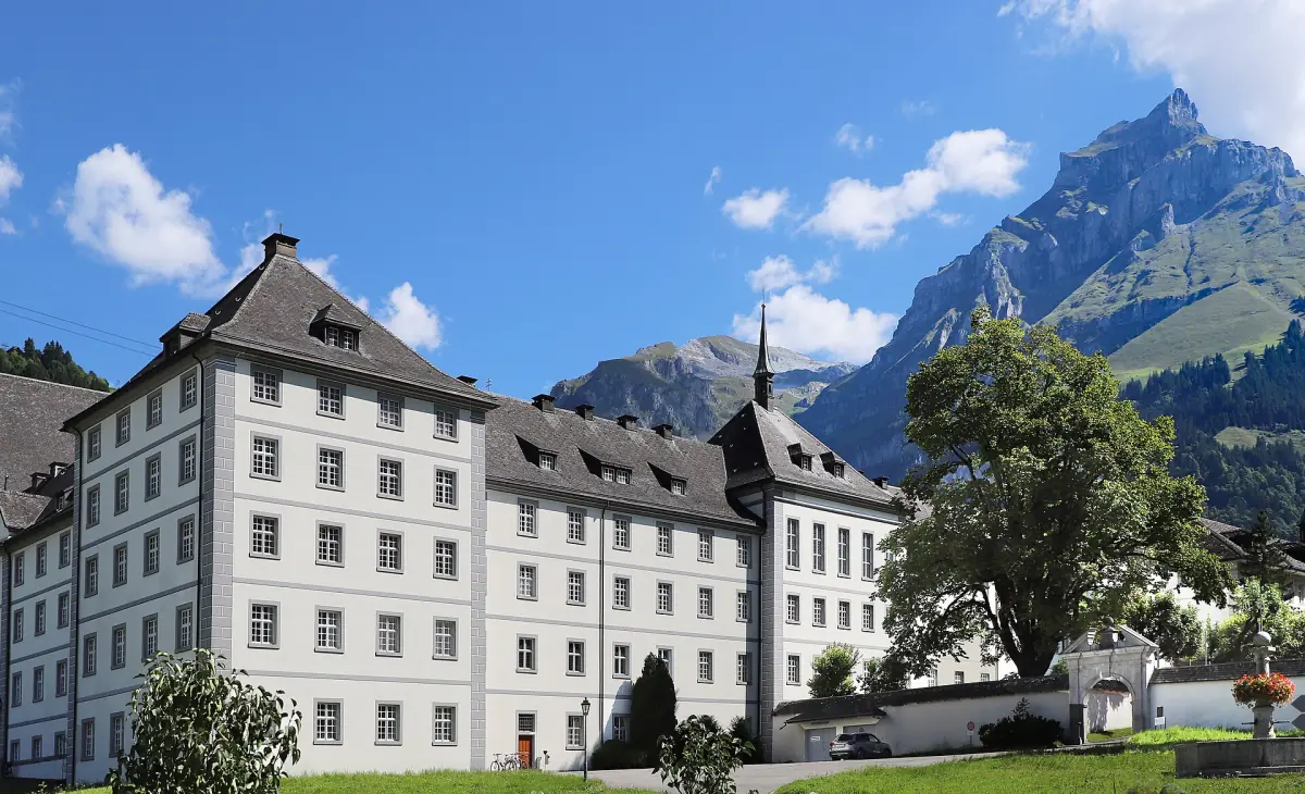
A guided mountain visit including Fürenalp
The Lucerne outing combines Titlis and Fürenalp with train, bus and cableway tickets, guiding and logistics. Arrange a walking route separately from these mountain visits.
Walenpfad closure and its transport circuit
The Walenpfad connects Brunni with Bannalp. Published route figures are 11.2 kilometres, an indicative 3 hours 50 minutes, T2 difficulty, 561 metres of ascent and 671 metres of descent. These describe the route rather than current availability. On 2 November 2026 it was closed, with safety installations removed. Its usual window of approximately early July to late October is not permission to walk it. Select a different open route for an upcoming outing.
For planning after a future reopening, the return transport is an essential part of the walk. The published circular ticket includes the Brunni installations and chairlift, Bannalp cableway, PostBus from Oberrickenbach to Wolfenschiessen and Zentralbahn back to Engelberg. Arrange the connections on the far side before starting. This ticket describes a transport chain, not an available hike during the closure. The operator also asks visitors not to use bikes on the trail.
Stäuber waterfall and Fürenalp
The Stäuber circuit links Fürenalp, Stäuber, Stäfeli and the valley station. It is described as a moderate 9.19-kilometre route. The indicative time from the mountain station is 2 hours 35 minutes, compared with 3 hours 25 minutes in the opposite direction, with a height difference of 776 metres. Direction therefore changes the day: decide whether to use the mountain transport at the start or finish, and build the walk around that connection.
Alpine refreshment stops, cheese dairies and the Aebnet cableway belong to the alpine summer offer. For spring or autumn, arrange food and the return around the services available for the actual date. The guided ten-hour mountain outing from Lucerne visits Fürenalp and includes train, bus and cableway tickets, guiding, logistics and planning. Collection is from a Lucerne hotel or apartment with pickup details arranged for the booking. Meals and drinks are extra. Choose this for organised mountain visits; an independent Stäuber circuit needs its own walking plan.
The four-lake route and a different finishing valley
The four-lake sequence connects Trübsee, Engstlensee, Tannensee and Melchsee, continuing to Melchsee-Frutt. Its finish in another valley makes the journey home a separate planning task. Arrange transport from the endpoint as well as the initial mountain access from Engelberg. Engstlensee and Jochpass form a connected access area, with walking sections and changes between lift stages rather than continuous transport from one lakeshore to the other.
From Trübsee, allow for the described walk of about 15 minutes to the Jochpass valley station. After the ascent, the Engstlen chairlift connects at the pass. Seasonal lift windows and current trail conditions determine how these stages fit together. Winter lift schedules do not establish hiking access. The Trübsee, Engstlensee and Jochpass guide explains the access choices without relying on walking across frozen water.
Marked routes and the Swiss Alps
Staying on designated routes is required throughout the year in Hahnen and Bannalp-Walenstöcke, including in snow-free conditions. Engelberg wildlife rest zones apply from 1 December to 30 April. Respect local protection rules, stay on marked paths and routes, and keep dogs on a lead particularly in woodland. A visit to managed Titlis attractions should be planned separately from a glacier undertaking. The Swiss Alps guide provides the broader regional context.
The train from Lucerne provides the approach to the village. For an independent hike, establish the last transport needed before assigning time to breaks and intermediate stops. That keeps the return journey within the route plan rather than leaving it as a decision to make at the end of the walk.
Walking route questions
Is the Walenpfad currently suitable for an outing?
At the 2 November 2026 information date it is closed and the safety installations have been removed. Choose another open route and keep its route details for planning after a future reopening.
Does the Fürenalp outing include the Stäuber hike?
The excursion is a guided mountain visit with transport and organisation. Plan the Stäuber walking circuit separately, including direction, daily trail conditions and the return connection.
Does the four-lake route finish back in Engelberg?
The described sequence continues to Melchsee-Frutt. Arrange the journey from that different valley before starting and account for seasonal connections.